New Hampshire Could See Blast of Winter Weather Tue/Wed; Here’s What to Expect
By the looks of things right now, certain areas of New Hampshire could be in for a winter blast this week.
Snow accumulations vary greatly depending on where in the state you live. According to WMUR, you could see as little as four inches of snow along the seacoast, but up to 12 inches in the Lakes Region.
What we do know right now is that there is already a Winter Storm Watch posted statewide for Tuesday into Wednesday.
Right now, it appears that forecasters are calling for the snow to begin Tuesday night and possibly change to a mix of wintry precipitation along the southern portion of the state and mix with rain in the southeast region overnight. The farther north you go, it will stay just snow.
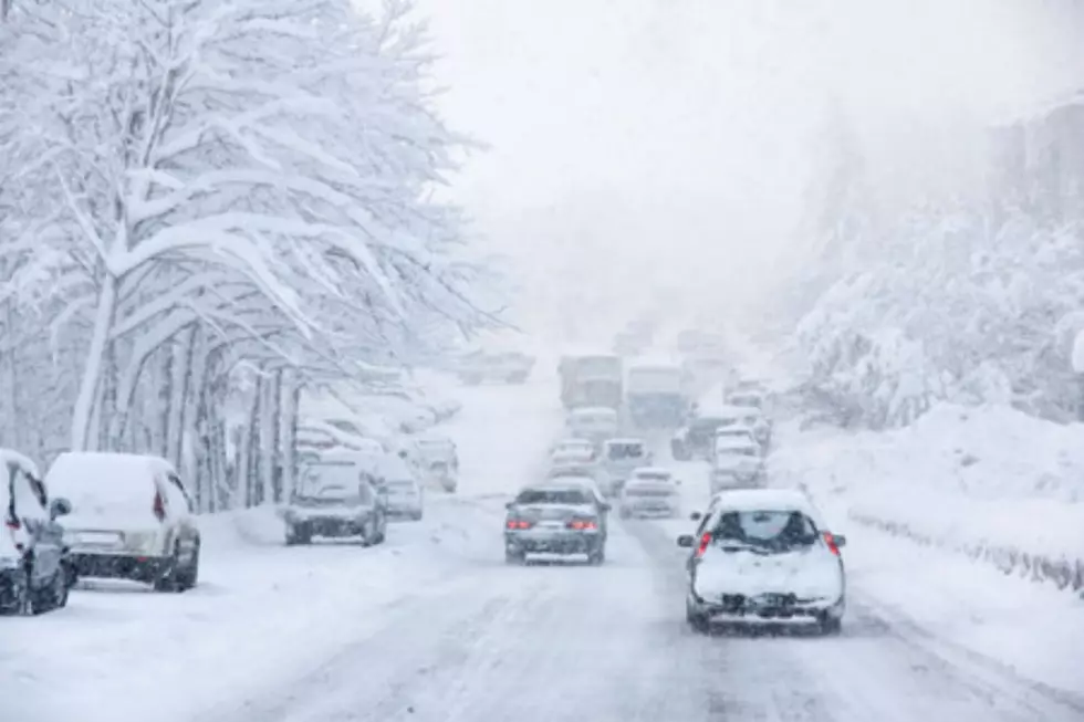
The storm will most likely end sometime Wednesday morning. Which means, the Tuesday evening and Wednesday morning commutes might get kind of tricky. There could be some school cancellations and delays as well. You can always keep up to date with the latest closures here.
And remember to brush off the snow and ice from your vehicle before hitting the road. If you are pulled over by the police, you could be facing a pretty hefty fine under Jessica's Law.
More From 97.5 WOKQ


