
March Snow vs. January Snow — What’s the Difference?
With 11 days to go until spring, does Wednesday's snow signal the end of winter for the Seacoast?
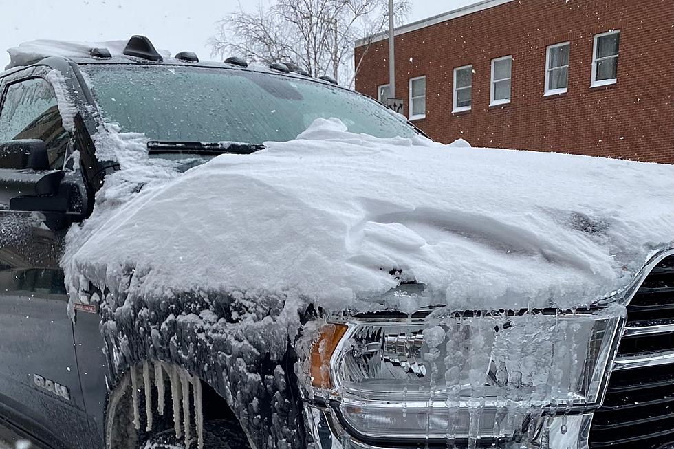
A Winter Weather Advisory is in effect starting at 3 p.m. for precipitation that could start as rain. A total accumulation of 1-2 inches of snow is expected, especially for the Seacoast region and mostly on grassy surfaces during the day. The snow could start accumulating after sunset, creating slippery driving conditions.
"It looks generally like a pretty light snowfall by the time it wraps up later this evening," meteorologist Hunter Tubbs from the National Weather Service office in Gray, Maine told Seacoast Current.

March Snow Is Different
It's also a March snow, which can have a different impact than snow that falls in the middle of January.
"It is a little bit later in the season, so we have to start incorporating other factors like sun angle because the sun is higher up in the sky now. For daytime snow, that can limit accumulation on paved surfaces like roads, especially if temperatures are near freezing," Tubbs said.
Will this be the Seacoast's last snow event of the winter?
"I wouldn't say that, just because winter is long here. It's possible this is the last widespread snow for southern New Hampshire, but definitely can't rule out that we get more snow before winter's over."
Rain is expected all day Saturday with temperatures around 50, but the cold will return on Sunday with temperatures only around 35.
Contact reporter Dan Alexander at Dan.Alexander@townsquaremedia.com or via Twitter @DanAlexanderNH
Trending Stories for Seacoast Current (February 28-March 6, 2022)
Gallery Credit: Megan Murphy
More From 97.5 WOKQ