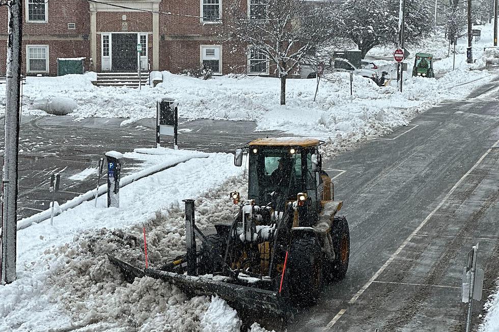
Still Much Uncertainty About Sunday Snow on New Hampshire Seacoast
The only thing certain about the weekend storm is that it will be all snow.
A storm expected to track across the country and impact New England late Saturday night and Sunday is currently moving onshore in California, so it is too early to commit to snow totals and exact locations, according to meteorologist Derek Schroeter at the National Weather Service in Gray, Maine.
"There's confidence that there's going to be enough cold air that snow will be the likely precipitation type, but right now the overall uncertainty lies in the strength of the system and as well as the track," Schroeter told Seacoast Current Wednesday morning. "Current data suggests a rather weak system tracking south of Cape Cod. So that would put snow on the north side of that low pressure system, so we're looking at mostly snow."
The snow would be heaviest across southern New England and into southern New Hampshire and York County.
"It does not look like a major snowfall event. But there is potential that, you know, some areas will see their first measurable snowfall. Plowable snowfall is certainly possible on Sunday," Schroeter said.
Another piece of the puzzle
Also affecting the storm's potential is a piece of energy that could phase into the storm, which could make it stronger bringing snow showers across northern New Hampshire and Maine.
Schroeter is also looking at another chance of wintry weather on Tuesday or Wednesday, which is actually stronger than the weekend storm. One possibility is that storm would move west of New England, bringing temperatures in eastern New England above freezing and turning any snow to rain.
"The only confidence with that second storm is it does look like it has more moisture and will stronger," Schroeter said. "There's a lot of uncertainty in that track."
Contact reporter Dan Alexander at Dan.Alexander@townsquaremedia.com or via X (Twitter) @DanAlexanderNH
We'll Miss These New Hampshire Restaurants That Closed in 2023
Gallery Credit: Megan
More From 97.5 WOKQ


